Take a look at some of the projects I have done in Hacking the Humanities:
Mapping the Provenance of a Pig
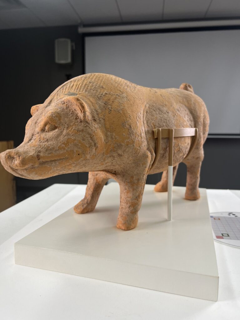
My group mapped the provenance of a tomb figure of a pig. When importing the CSV file, we set our field name to Location and location fields to Address or Place. The label for our map was Object, which displayed the name ‘Tomb figure of a pig‘ for each object on the map. Additionally, we changed the shape of our location icons from the default circles to a star, a square, a diamond, and a pin.
For me, the process of web mapping was pretty easy because the ArcGIS interface is intuitive to work with. Sometimes, I was able to use a feature without needing to look up a guide. I feel like the potential of web mapping is the ability for geospatial information to be shared on through the internet across desktop computers, phones, tablets, etc. This provides more accessibility for people, who can be able to contribute to projects from any part of the world. Such increased participation results in more refined geospatial data as opposed to data refined by a few people. I think ArcGIS is one of the applications promoting such forms of collaboration over the internet. Aside from its wonderfully designed features, its ability to allow people to make project groups is, in my opinion, the resource that actually encourages the idea of web mapping.
Photogrammetry of a Buddha Sculpture
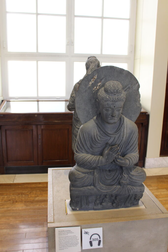
My midterm project involved generating a 3D model of Buddha using photographs from the buddhaPreaching_BritishMuseumDH dataset and creating this subdomain to share the project.
